Coastal resilienceUp to 70 percent of Northeast U.S. coast likely to adapt to rising seas
Much of the coast from Maine to Virginia is more likely to change than to simply drown in response to rising seas during the next seventy years or so, according to a new study led by the U.S. Geological Survey. The study is based on a new computer model that captures the potential of the Northeast coast to change, driven by geological and biological forces, in ways that will reshape coastal landscapes.
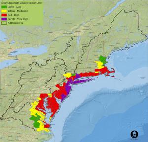
Army estimates of sea level rise along U.S. northeast coast // Source: army.mil
Much of the coast from Maine to Virginia is more likely to change than to simply drown in response to rising seas during the next seventy years or so, according to a new study led by the U.S. Geological Survey. The study is based on a new computer model that captures the potential of the Northeast coast to change, driven by geological and biological forces, in ways that will reshape coastal landscapes.
USGS reports that in a paper published Monday in Nature Climate Change, the researchers reported that 70 percent of the Northeast Atlantic Coast is made up of ecosystems that have the capacity to change over the next several decades in response to rising seas. For example, barrier islands may migrate inland, build dunes, change shape, or be split by new inlets as tides, winds, waves and currents sculpt their sands. Marshes trap sediment and break down decaying plants into new soil, which may elevate them sufficiently in some areas to keep pace with sea-level increases.
While most sea-level rise models that cover large areas show low-lying coastal land converting to open water in coming decades, many of these inundation models over-predict the land likely to submerge. The USGS model, developed in collaboration with Columbia University’s Earth Institute, produces a more nuanced picture of sea level rise as a mosaic of dry land, wetlands, and open seas, rather than as a uniform response across the landscape.
The USGS model is the first to factor in natural forces and make detailed predictions from the 2020s through the 2080s over a large coastal area, some 38,000 square kilometers (about 9.4 million acres). It is an advance over most regional models, which project drowning as the only outcome as the oceans rise. These are often referred to as “bathtub models” and assume the coast is progressively submerged as sea levels rise.
Projections from inundation models are straightforward: some coastal land will remain above the levels of the rising seas and some will drown. The new model includes the potential for dynamic coastal change and shows where in response to future sea levels, coastal lands fall on a continuum between dry land and open water.