Law-enforcement technologyCustomizable crime alert map helps Louisville residents stay safe
With the help of sophisticated online mapping tools, residents in Louisville, Kentucky can receive customized updates on crime that can be narrowed down to a particular beat
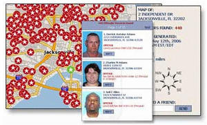
Crime alert map customizable by address a boon to police and residents // Source: nationalalertregistry.com
With the help of sophisticated online mapping tools, residents in Louisville, Kentucky can receive customized updates on crime that can be narrowed down to a particular beat.
Working in conjunction with QuickFind, the Louisville Metro Police Department has created an online Google crime map that allows users to receive updates based on which of the county’s eight police divisions they live in. In addition users can delve in further and select which beats they are interested in and with the help of GovDelivery can receive alerts via text or email.
“One of the things we wanted to do was make it easier for the citizens to get the data and see the data in a more familiar format, and then allow them to sign up to get notified by text or email on their police division or beat – whatever level they want to do it,” said Beth Niblock, the CIO of the Louisville Metro Government.
According to Lieutenant Robert Schroeder of the Louisville Police Department, the map offers residents a better idea of general crime trends in their area.
“Say a division commander is noticing a certain neighborhood is suddenly getting hit with car break-ins and they never have before,” Schroeder said. “They can let the citizens in that local area know what’s going on.”
The crime map displays crime by type as well as the exact location where it occurred. Furthermore the map only shows incidents and not the final status of the case.
The software system cost $300 to implement and $150 a month to maintain, but city officials say that amount could increase over time.