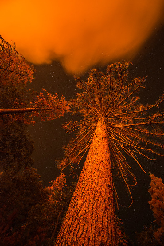
WildfiresTracking the tinderbox: Scientists Map Wildfire Fuel Moisture Across Western U.S.
As California and the American West head into fire season amid the coronavirus pandemic, scientists are harnessing artificial intelligence and new satellite data to help predict blazes across the region. Researchers have developed a deep-learning model that maps fuel moisture levels in fine detail across 12 western states, opening a door for better fire predictions.
As California and the American West head into fire season amid the coronavirus pandemic, scientists are harnessing artificial intelligence and new satellite data to help predict blazes across the region.
Anticipating where a fire is likely to ignite and how it might spread requires information about how much burnable plant material exists on the landscape and its dryness. Yet this information is surprisingly difficult to gather at the scale and speed necessary to aid wildfire management.
Now, a team of experts in hydrology, remote sensing and environmental engineering have developed a deep-learning model that maps fuel moisture levels in fine detail across 12 western states, from Colorado, Montana, Texas and Wyoming to the Pacific Coast.
The researchers describe their technique in the August 2020 issue of Remote Sensing of Environment. According to the senior author of the paper, Stanford University ecohydrologist Alexandra Konings, the new dataset produced by the model could “massively improve fire studies.”
Stanford says that according to the paper’s lead author, Krishna Rao, a PhD student in Earth system science at Stanford, the model needs more testing to figure into fire management decisions that put lives and homes on the line. But it’s already illuminating previously invisible patterns. Just being able to see forest dryness unfold pixel by pixel over time, he said, can help reveal areas at greatest risk and “chart out candidate locations for prescribed burns.”
The work comes at a time of growing urgency for this kind of insight, as climate change extends and intensifies the wildfire season – and as the ongoing COVID-19 pandemic complicates efforts to prevent large fires through controlled burns, prepare for mass evacuations and mobilize first responders.
Getting a Read on Parched Landscapes
Fire agencies today typically gauge the amount of dried-out, flammable vegetation in an area based on samples from a small number of trees. Researchers chop and weigh tree branches, dry them out in an oven and then weigh them again. “You look at how much mass was lost in the oven, and that’s all the water that was in there,” said Konings, an assistant professor of Earth system science in Stanford’s School of Earth, Energy & Environmental Sciences (Stanford Earth). “That’s obviously really laborious, and you can only do that in a couple of different places, for only some of the species in a landscape.”