WildfiresWildfire map shows European countries most at risk of catastrophic fire damage
Cities and tourist areas such as Catalonia, Madrid, and Valencia are among those most at risk of catastrophic damage from wildfires in Europe, according to research. An international research team has put together a map using satellite data that details the countries in Europe with the highest likelihood of experiencing wildfire damage — with large fires occurring more frequently near “Wildland-Urban Interface” WUI areas in the countries of Albania, Bulgaria, Cyprus, France, Italy, and Spain.
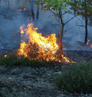
Models point to increased european wildfires // Source: commons.wikimedia.org
Cities and tourist areas such as Catalonia, Madrid, and Valencia are among those most at risk of catastrophic damage from wildfires in Europe, according to research led by the University of Leicester.
An international research team has put together a map using satellite data that details the countries in Europe with the highest likelihood of experiencing wildfire damage — with large fires occurring more frequently near “Wildland-Urban Interface” WUI areas in the countries of Albania, Bulgaria, Cyprus, France, Italy, and Spain.
The map is published in the Journal of Environmental Management and is the first European-scale map of wildland/urban areas.
U Leicester reports that for the first time, the researchers set out to map the extent of wildland areas around cities all over Europe to find out where they create a risk for large wildfires threatening people.
Using satellite maps of land cover and of the extent of large fires, they used statistics to find areas where large fires have happened more frequently and where wildland areas are close enough to cities to make them vulnerable.
The distance from the nearest wildland/urban areas explained the occurrence of large fires in many regions across Southern Europe, where fires are the biggest problem.
Professor Heiko Balzter, Director of the Centre for Landscape and Climate Research at the University of Leicester, said: “In the regions we have identified as high-risk, local authorities need to prioritize fire risk control and develop better forest fire risk management strategies.
“This study was exciting, especially when we had our Eureka moment as it became clear that were onto something. We did not know what to expect when we started this work. To map the extent of wildland/urban areas all across Europe was already quite new. But to find that we can use that map to predict fire risk was a real breakthrough.”
The overall study area covered the entire European Union, including the non-member states of Switzerland, Norway, Iceland, Montenegro, the Former Yugoslav Republic of Macedonia, Turkey, Bosnia, and Herzegovina Kosovo.
WUI mapping and the cross-national scale statistical analysis between WUI distance and large forest fires were performed for the whole study area.
Amongst the included countries, forest fires are strongly concentrated in the Mediterranean countries.